Orientation
The Cameron Highlands map, explained
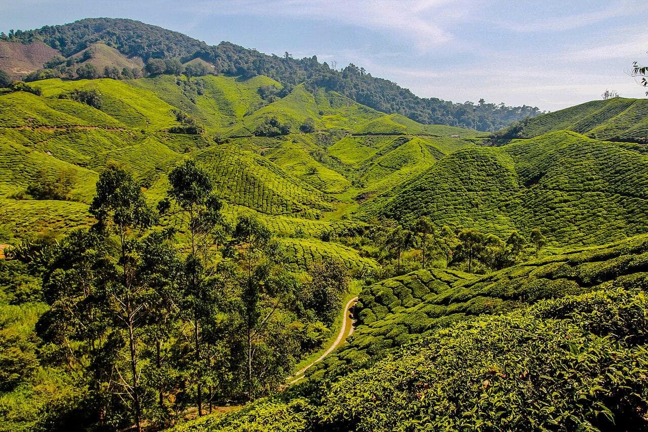
Cameron is really one road with towns strung along it. Get that picture straight and the whole trip makes sense — here’s where everything sits, which way you come in, and how far apart it all is.
The short version
Picture one road running up a valley. From south to north it passes Ringlet, then Tanah Rata (the main town), then Brinchang, then the Kea Farm farm strip, then the Tringkap gardens, ending at Kampung Raja — about 34 km in all. You come up from KL via the south (Tapah) or from Ipoh via the north (Simpang Pulai). Base in Tanah Rata or Brinchang and almost everything is a short drive away.
The valley, north to south
Read this top (north) to bottom (south) like the road itself. It’s a schematic, not to scale — the point is the order things come in.
Kampung Raja & Kuala Terla
Northern endThe quiet, working-farm north of the valley — few tourist sights, but the first towns you reach if you come up the newer Simpang Pulai road from Ipoh.
Tringkap
Gardens stripThe flower-garden belt north of Kea Farm — themed photo gardens rather than headline sights.
Kea Farm
The farm clusterThe busiest sightseeing strip, ~3 km above Brinchang: the morning produce market, the strawberry and butterfly farms, and the big mainstream hotels. The summit road to the Mossy Forest and the turn to BOH’s Sungai Palas estate both branch off here.
Brinchang
Second townThe valley’s second town — home of the weekend night market and a handy farm-side base of apartments and mid-range hotels.
Tanah Rata
The main townCameron’s hub: the bus terminal, the hospital, the best cafés and restaurants, the jungle trailheads, and the one true luxury resort. The most walkable place to base yourself, especially without a car.
Ringlet
Southern endThe southern gateway and first town you meet coming up the old Tapah road from KL — more a working town and reservoir area than a sightseeing stop.
Where everything sits, by area
The same places, sorted by which part of the valley to base from. This is the practical question when you book a room: how close is your bed to the things you came for?
Tanah Rata
The main town — transport, food, trailheads, the luxury resort.
To stay
Brinchang
The second town and the Kea Farm strip just above it — the night market and most of the farms.
To see
Around Cameron
Spread along the valley road beyond the two towns — plantations, gardens and waterfalls.
To see
The live map
For actual navigation — zooming, directions, search — here’s Cameron Highlands on Google Maps.
Open Cameron Highlands in Google MapsGetting up — and around
There’s no airport and no train: you climb one of the two mountain roads by car or bus, and once you’re up, a car (or a tour) makes the spread-out valley far easier. The full breakdown — drive times from KL, Ipoh, Penang and Singapore, which route is gentler, and how to manage without a car — is in getting there & around.
Frequently asked questions
How is Cameron Highlands laid out?
It’s essentially one long valley road with the towns strung along it from south to north: Ringlet, then Tanah Rata (the main town), then Brinchang, then the Kea Farm farm strip, then Tringkap’s gardens, and finally Kampung Raja at the top — about 34 km end to end. Almost everything you’ll visit sits on or just off this single road, which is also why it jams on busy weekends.
Which way do I enter Cameron Highlands?
Two roads climb up. The older Tapah road (Route 59) comes in from the south and reaches Ringlet and Tanah Rata first — it’s shorter and the usual way from KL. The newer Simpang Pulai road (Route 185) comes in from the north near Ipoh and reaches Kampung Raja and Kea Farm first — gentler and better for car sickness. Many people go up one and down the other.
How far apart are the Cameron Highlands towns?
Close. Tanah Rata to Brinchang is about 4 km (5–10 minutes by car), and Brinchang up to the Kea Farm strip is another ~3 km. The gardens at Tringkap and the top town of Kampung Raja are further north again. In practice you base yourself in Tanah Rata or Brinchang and everything is a short — if often traffic-slowed — drive away.
Do I need a car to get around Cameron Highlands?
It’s much easier with one, because the sights are spread along the valley road and Grab is unreliable here. Without a car, stay in walkable Tanah Rata and use organised half-day tours and local taxis to reach the Mossy Forest and the farms. See our getting-there guide for the detail.
Got the lay of the land?
Turn it into a plan, or pick where to base yourself.